GLENROCK STATE CONSERVATION AREA
Glenrock State Conservation Area is one of our favourite spots to go hiking in The Hunter Region. Nestled a short 20-minute drive from central Newcastle, this hiker’s haven boasts a variety of trails that meander through enchanting rainforests, tracing the path of waterfalls and cascades. These tracks lead you to captivating beaches and offer picturesque views of the scenic Glenrock Lagoon.
This hike that follows the Great North Walk and Burwood track is also the perfect place to get in a shorter, mid-week hike in preparation for the Lake Macquarie Kokoda Challenge. This track offers some short, steep sections with a total elevation of 116 metres over the 4.5 kilometre trail.
HOW TO GET THERE
Starting from the Yuelarbah Trail Carpark, we followed the Yuelarbah Walking Track in a clockwise direction, starting with the boardwalk through the treetops. This section is wheelchair accessible, up until you reach the gravel section, which is approximately 600 metres into the trail.

THE HIKE
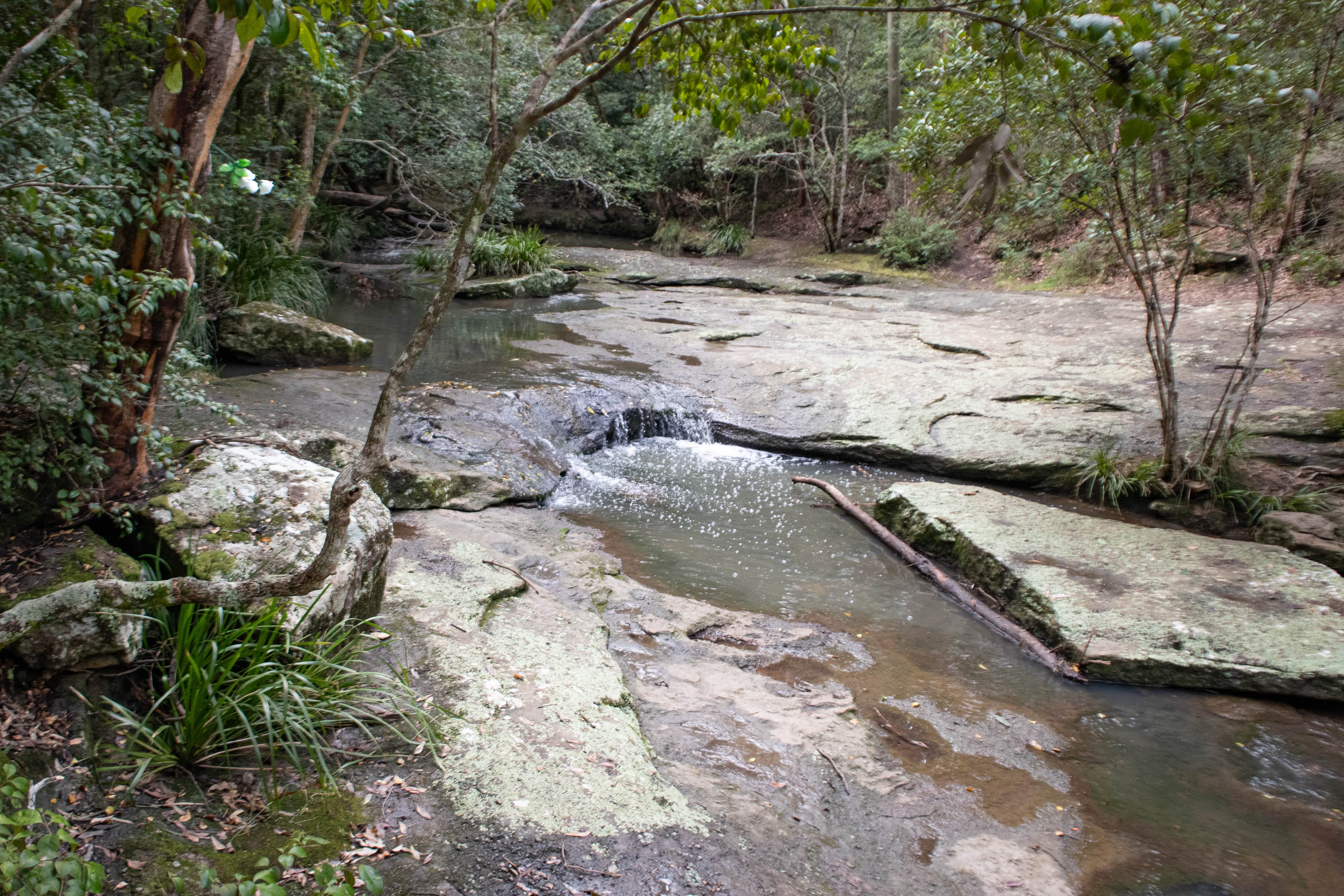
This walk is actually a part of the 250-kilometre Great North Walk from Newcastle to Sydney. Parts of these trails are shared with mountain bike riders as well as horse riders, so you’re sure to spot not only other hikers and trail runners along the way. As you make your way down into the forest, you will start to hear the babbling sounds of the surrounding cascades and the roar of the distant waterfall. Glenrock State Conservation Area is particularly special after some rainfall as the forest seems to come to life with the sounds of the birds and running water.
There are several paths that deviate from the main track, granting better vantage points of the water. Nonetheless, sticking to the main route is advised to safeguard both the park's integrity and your own safety, as there are cliff edges that you would not want to slip off!
Several foot bridges will lead you over the Flaggy Creek rock pools below before reaching Leichhardt’s Lookout. Here is where you’ll start to get a glimpse of Glenrock Lagoon in the distance, beyond the trees.


You’ll now start to follow a steep descent down the stairs further into the forest. If you’re looking for a more challenging hike, you could walk this hike in an anti-clockwise direction so you’re making your way up through this section and getting your legs ready for the gruelling Kokoda Challenge hills!
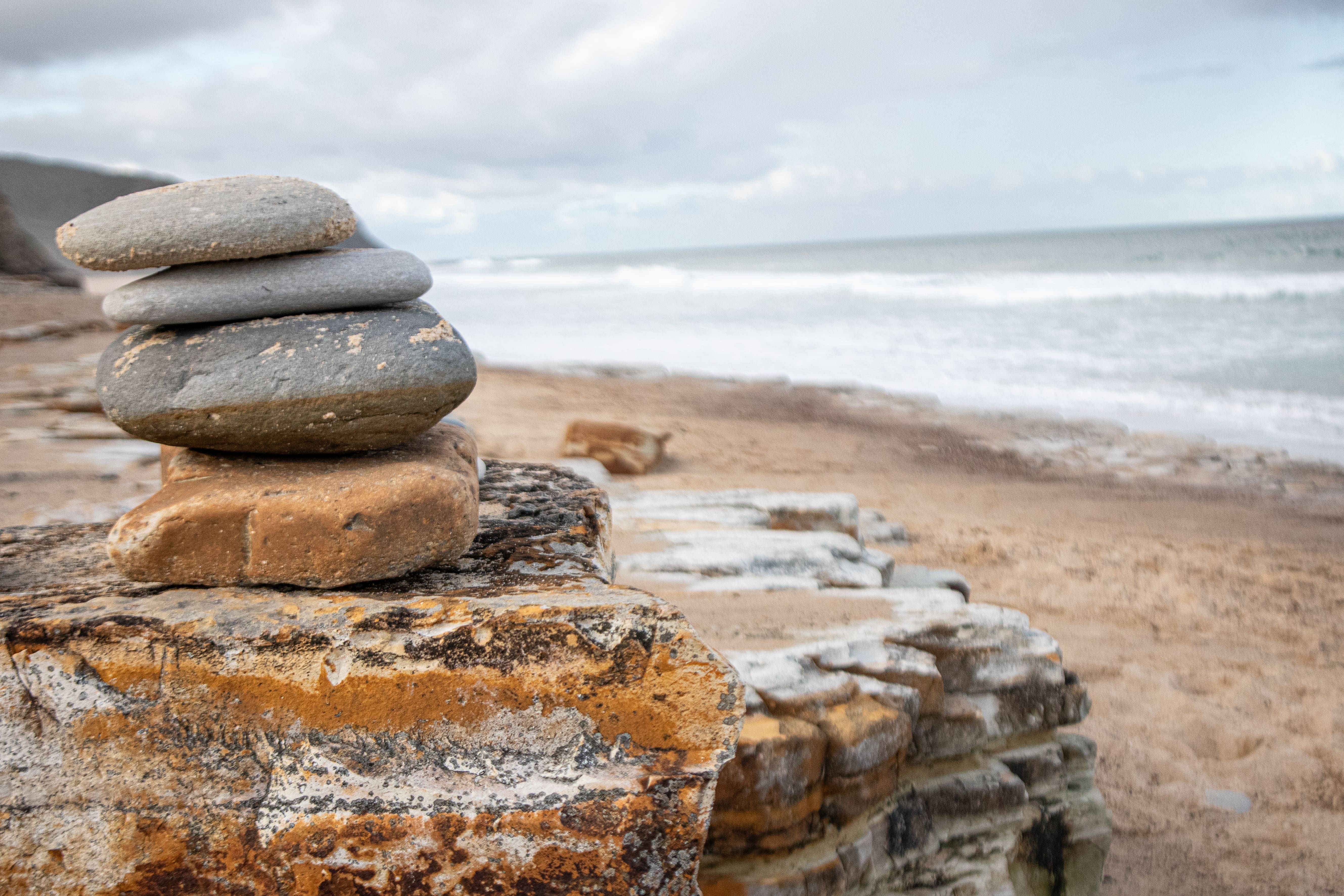
Keep following the trail until eventually you will start to get glimpses of Glenrock Beach. The forest will start to clear, and you will step foot onto the sand to marvel at the long stretch of untouched coastline and sweeping views of the lagoon, which is even more spectacular if you get there around golden hour (one hour before sunset).
We spent quite some time here soaking in the sounds, enjoying the ambience, and stopping for a snack. If you’re brave enough to jump in the cold water, then Glenrock Lagoon is a great swimming spot as the beach here is not patrolled by lifeguards.

At this point, you can either turn around and return via the same route. Alternatively, if you are visiting at low tide, you will be able to cross where the lagoon meets the sea and explore the trail further.
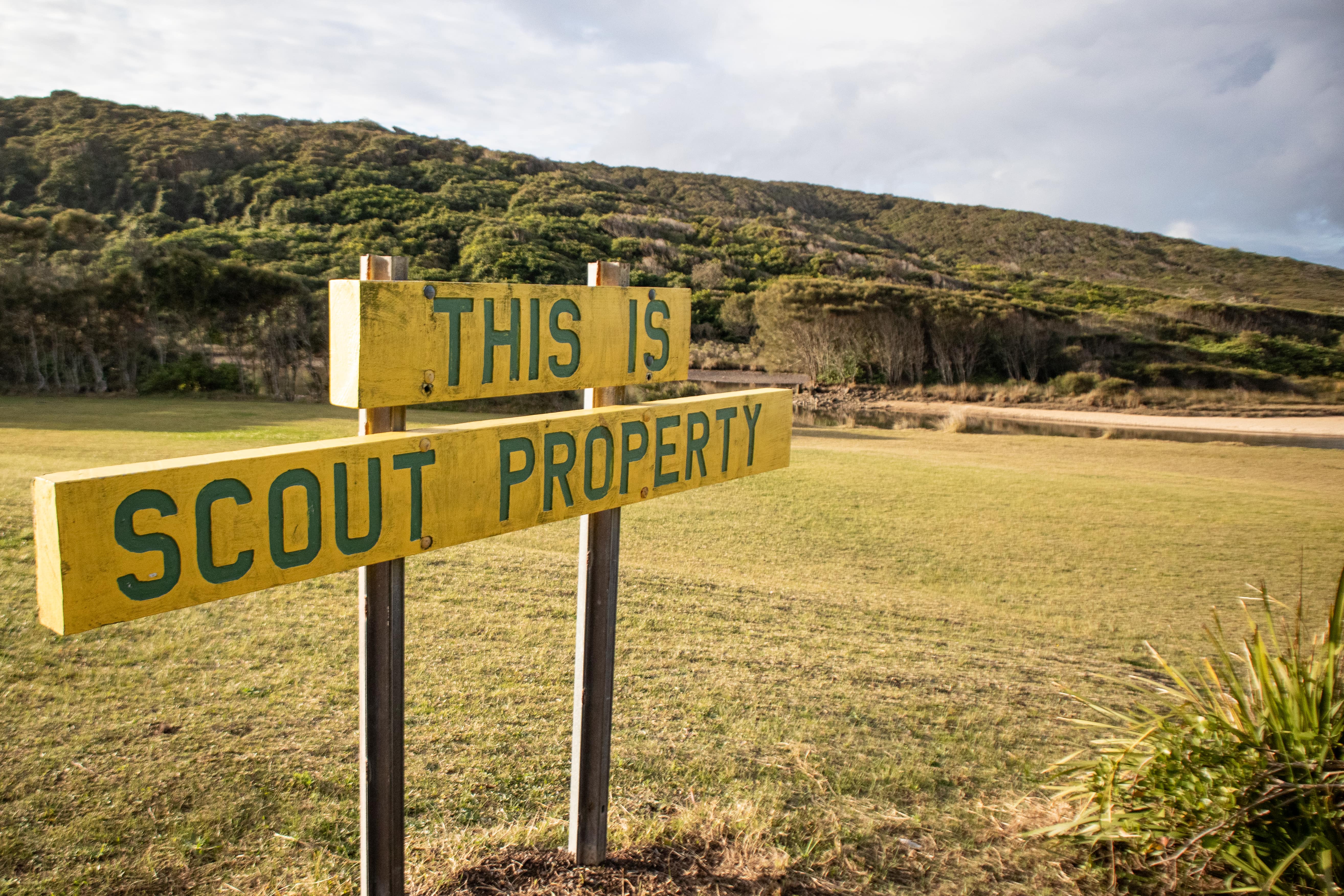
If continuing, the trail can be a little hard to follow from this point so make sure you have the offline AllTrails map downloaded! After walking for approximately 1 kilometre, you will reach Glenrock Scout Training Camp, please note that this is private property so make sure you’re sticking to the trail through Glenrock State Conservation Area and not private land.
The track will start to take you up through a rocky outcrop before reaching Scout Camp Road, you’ll follow the road for only 50 metres or so before heading onto the trail again, keep an eye out for this sign!


After continuing on, you will start to notice that you’ve returned to the same area as where you started your walk. There is an option here to cross the creek to join the path you commenced your adventure on (prepare to get your feet wet unless you’re an expert rock hopper!) or continue forward onto the path that will lead you back to the Yuelarbah Trail Carpark.
All up, the walk took us an hour and a half, which was not surprising considering how much we stopped to marvel at the views along the way!
This really is a spectacular place to get in a short Kokoda Challenge training hike as there is a well-formed path for your team to follow and outstanding views along the way. If you are registered for the Lake Macquarie Kokoda Challenge, make sure you’re getting in some longer hikes too to prepare your legs for the challenge ahead as this trail is great for a mid-week training session or a recovery week.
Heading to Glenrock State Conservation Area? Make sure you tag us on Facebook and Instagram so we can follow your adventure! Let us know where your favourite training hike is in The Hunter Region too!
Please note that dogs are not permitted in Glenrock State Conservation Area. We also highly recommend downloading the Emergency Plus app before venturing out onto any hike, as this will help emergency services locate you in an emergency.


If you're an avid hiker like we are, why not test yourself in Australia's toughest team endurance event:
Or to get more training routes and hiking destinations around the Gold Coast like this delivered straight to your inbox, enter your details below!


